
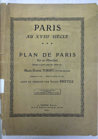
Bretez, Louis. Paris au XVIIIe siècle; Plan de Paris en 20 planches dessiné et gravé sous les ordres de Michel-Étienne Turgot, prévôt des marchands. Commencé en 1734, achevé de graver en 1739. Levé et dessiné par Louis Bretez. Paris: A. Taride, [1908?].
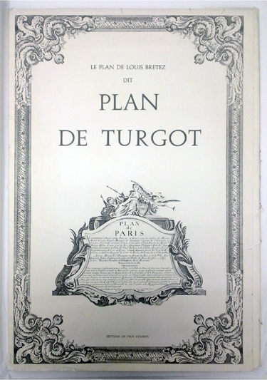
Bretez, Louis, André Rossel, and Michel-Etiene Turgot. Le Plan de Louis Bretez dit Plan de Turgot. Paris: Éditions les Yeux ouverts, [1966?].
Recently, the Architecture and Planning Library took possession of several books, that were originally housed in the Alexander Architectural Archive. These books, formerly owned by the late Blake Alexander, were transferred to the library’s special collections in order to allow greater access to students and researchers alike.
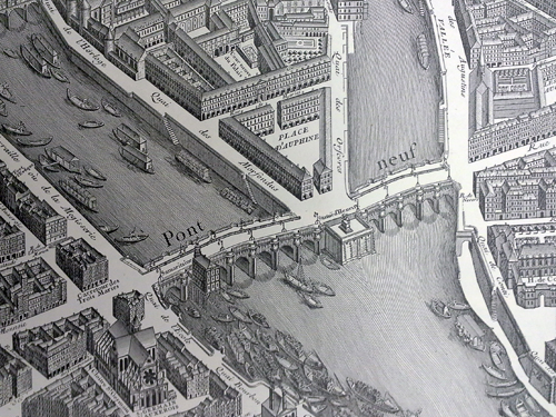
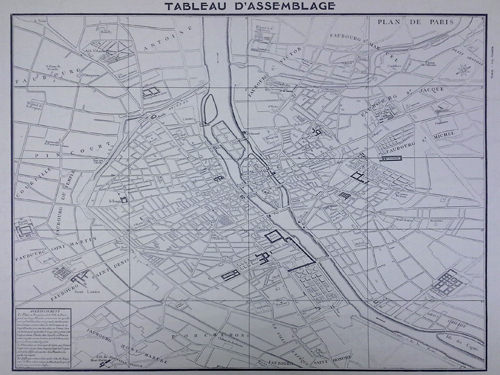
Two of the books, officially titled Paris au XVIIIe siècle; Plan de Paris en 20 planches dessiné et gravé sous les ordres de Michel-Étienne Turgot, prévôt des marchands and Le Plan de Louis Bretez dit Plan de Turgot, represent different twentieth century facsimiles of a the same publication, Le Plan de Turgot. Le Plan de Turgot, a detailed bird’s-eye view of Paris, is one of the most famous urban maps ever created. Commissioned by the prévôt des marchands de Paris, Michel-Étienne Turgot (1690-1751), in 1734, the map was realized by Louis Bretez over the course of five years. Bretez, a member of the Académie royale de peinture et de sculpture who specialized in architectural perspective, was given free reign to enter Paris’ mansions, houses and gardens in order to capture every building, window, tree, shadow and park in exhausting (and accurate!) detail. The completed map, consisting of twenty pages that could be assembled into a massive display of the first eleven modern-day arrondissements, was engraved by Claude Lucas and published in 1739. Lucas’ original plates are kept by the Chalcographie du Louvre where they could still (theoretically) be used today for printing.
Of the two reproductions, Paris au XVIIIe siècle, is the oldest. This book was published circa 1908 by Alphonse Taride, a Paris based publisher who specialized in maps, tourist guides, histories, and pocket plans of France. The other facsimile, Le Plan de Louis Bretez dit Plan de Turgot, is much newer having been published circa 1966 by Éditions les Yeux ouverts.
Library of Congress call numbers: -F- 912.4436 B755P and -F- 912.4436 B755P 1966.


One thought on “Plan de Turgot”
Comments are closed.