Tag Archives: The Library of Drury Blakely Alexander

Feature Friday: A Guide to Dallas Architecture

Happy Feature Friday! Only a few more posts until the fall semester – time sure flies when you’re sweating uncontrollably in the Austin summer heat. (Or is that just me?)

This Friday, we’re once again shedding light on a unique subset of books at the Architecture & Planning Library: city guides. These range from self-guided architecture tours to city overviews that delve into historic facts and figures. Though many of these titles may come up in research, they’re also great to turn to when planning a visit to a new city.

Sure, Google and travel-assisting websites like Yelp and Foursquare may have overtaken print as the modern technological “guidebooks,” but there’s something both comforting and convenient about having a complete tour guide in written word. Personally, nothing will top being able to easily flip through a few pages, scour various custom maps, and decide on my next destination – all without worrying about draining my phone’s battery!

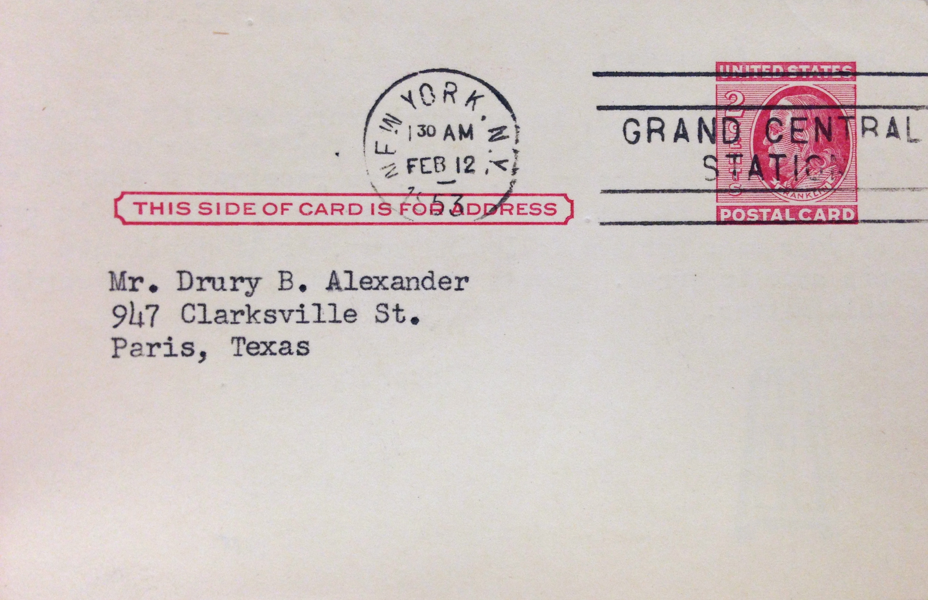
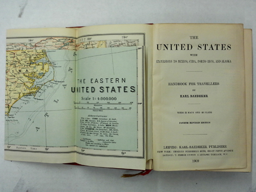
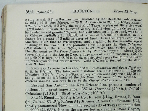
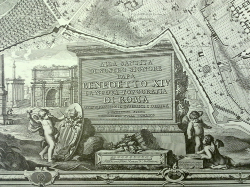
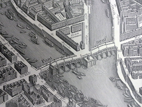
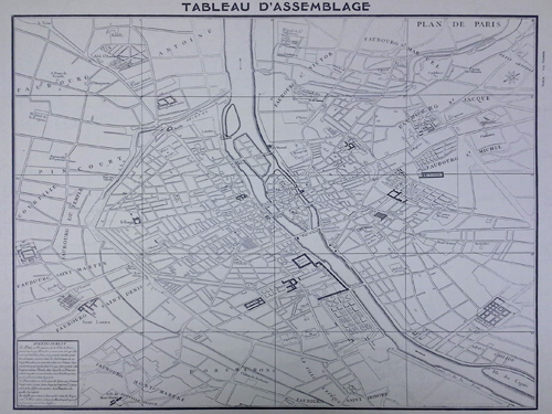
The Architecture & Planning Library holds an extensive amount of titles for both present-day tours and ones that reveal the past. I absolutely love finding guidebooks from a decade ago or older for cities that I’ve been to many times and comparing my internal map to what was there before. For example, when I added provenance notes to the Karl Kamrath Collection in late 2013, I came across an architectural walking tour of Chicago from 1969, complete with illustrations and maps. I was enthralled with photographs that depicted ornate skyscrapers that had been sacrificed over the years for towering glass symbols of prestige, the very symbols that define Chicago’s skyline today. By studying the tour book intently, I feel like I now have a greater depth and understanding of the city’s timeline and urban development, and now picture the ghosts of former buildings when passing their replacements. There’s something both beautiful and haunting about reading a first-hand account of a tour through a city so many years ago – only to realize how vastly different our present-day experience of the same city is.

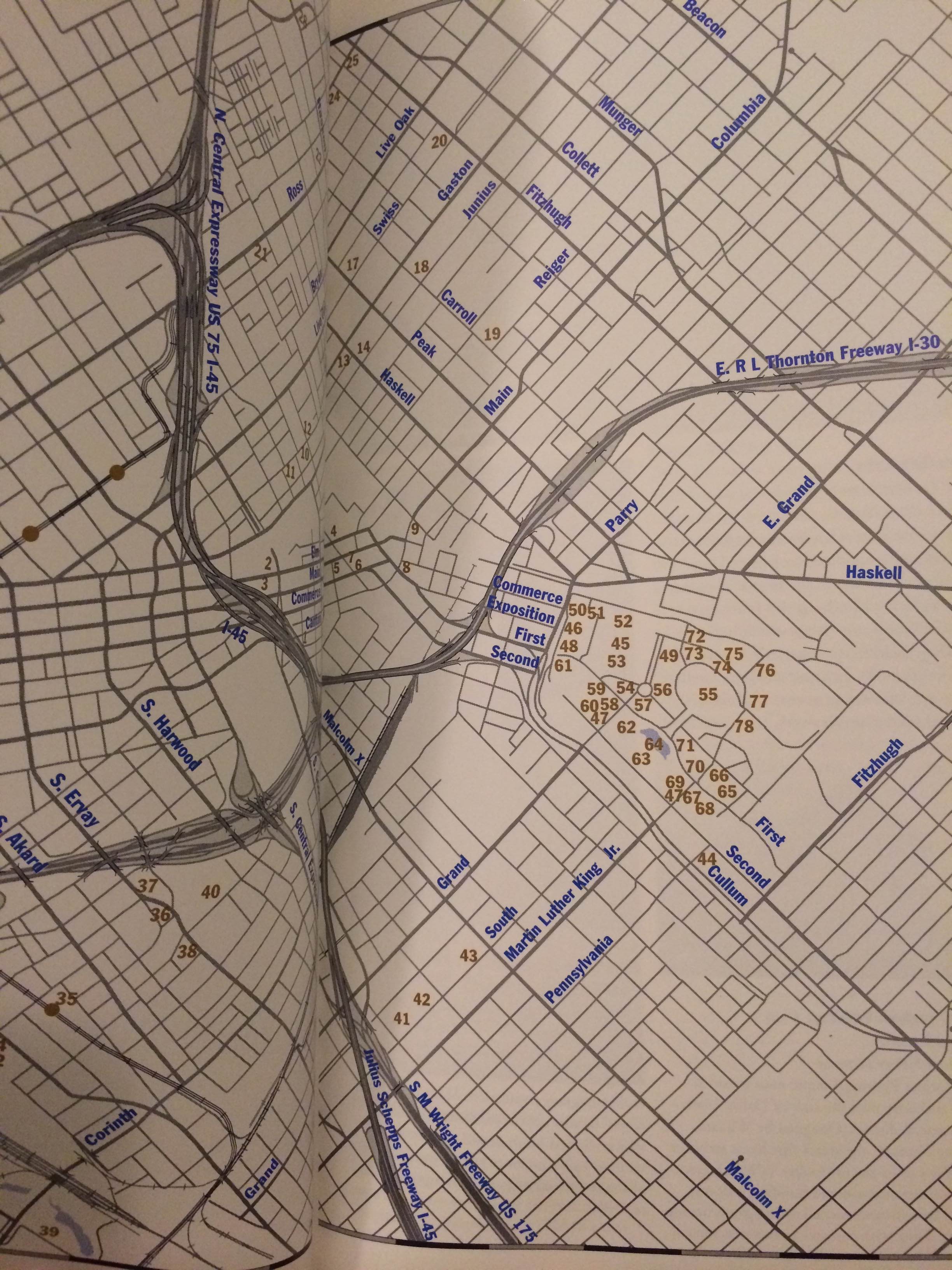
Historical treasures stud our stacks, but so do more modern titles of guidebooks, which may surprise some readers. For example, The American Institute of Architects Guide to Dallas Architecture from 1999 is a great example of more recent efforts to present an American city clearly, cohesively, and comprehensively in one book.

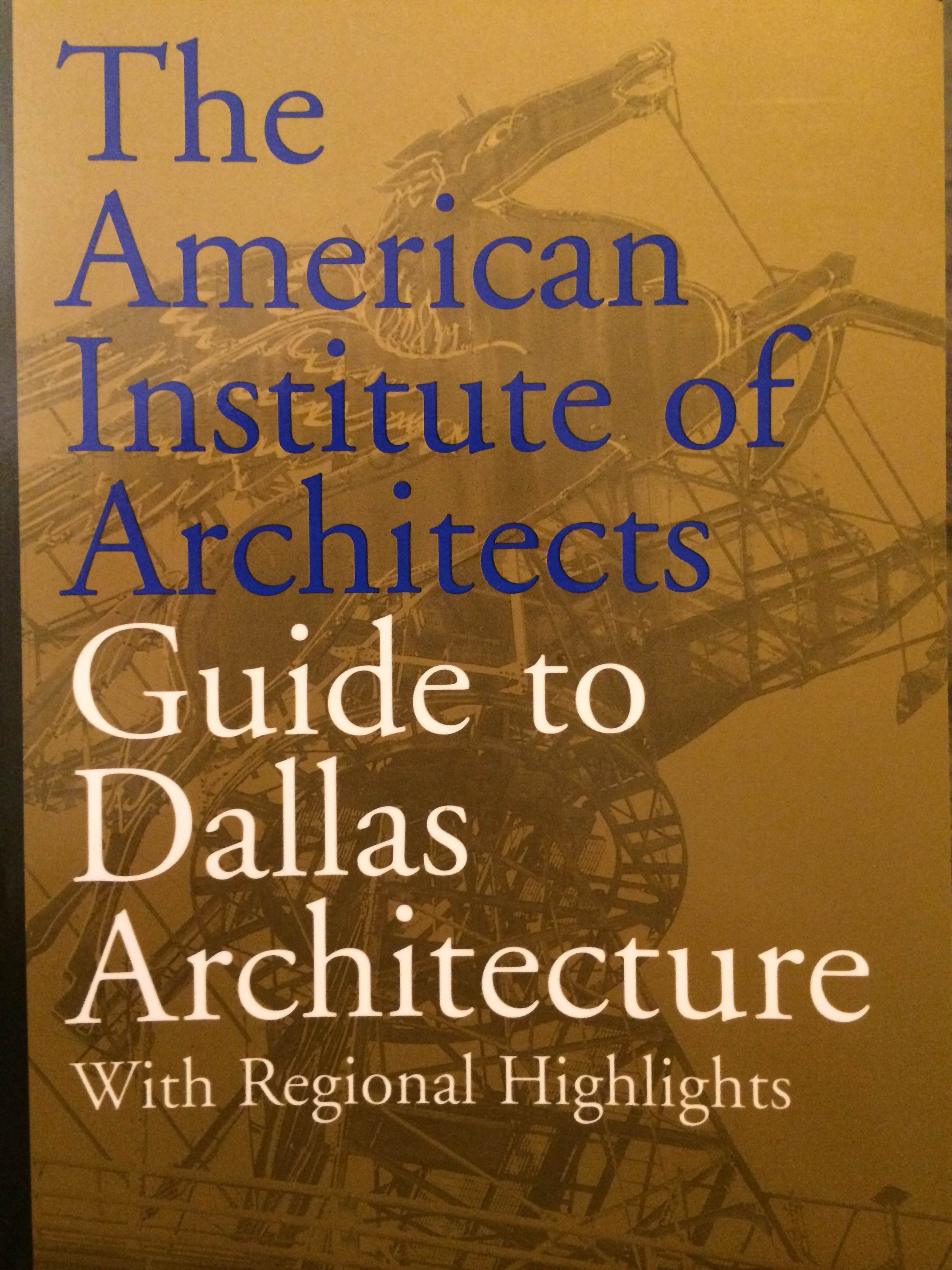
This differs from the tour books you may find on a bookstore’s shelf in that its primary focus is architectural – in its descriptions, tour arrangements, photography, and significant features. Where most off-the-shelf guidebooks might direct you towards the latest restaurants or nightlife, this book details parks, key structures, historic neighborhoods and districts, as well as sculptures and gardens. The maps are tailored to custom walking tours and guide you through one of Texas’ and America’s great cities to places even Dallas natives may have overlooked. And although this publication is much more modern than the 1969 Chicago tour, 1999 is still well over a decade ago – and the comparisons to the present city are likely staggering!

The next time you plan a visit to a new city, I highly recommend searching for a tour or guidebook in our catalog beforehand to see if you have the opportunity to check out one of the myriad architecturally-centric ones in our stacks. If coupled with a bookstore guidebook, your trip will likely be full of surprises – ranging from off-the-beaten-path monuments or neighborhoods to ghosts of city’s past.

Happy exploring!

Society of Architectural Historians Conference in Austin: Then and Now

It’s official: The Society of Architectural Historians Annual Conference is underway in our beloved Austin! Please visit here for a full listing of the conference’s events.

Because of the conference’s focus on architectural history, along with the opening of Emily Ardoin’s exhibit “Inside Modern Texas: A Case for Preserving Interiors,” we decided to delve into our archive’s bountiful resources to see if we could uncover material that was especially pertinent to the conference’s visit. The Alexander Architectural Archive holds the namesake of Drury Blakeley Alexander, architectural historian and Professor Emeritus at the University of Texas, who was an active member of the Society of Architectural Historians and believed wholly in the value of archival materials and research.

This fact was proven when Donna Coates, our Curatorial Assistant for Technical Services, informed me that Alexander’s collection included folders upon folders of saved Society of Architectural Historians conference materials. These folders contain invitations, programs, general correspondence, and more! I couldn’t believe that such a treasure is held within our very own Archive walls, provided by the namesake of the Archive itself. I also gained respect for low-grade hoarders; if I could high five Alexander for ensuring he retained nearly ALL of the materials of the conferences he attended, I totally would.

One of the many postcards addressed to Alexander inviting him to SAH Conferences. This one is dated 1953 from New York City.

As I began sifting through the boxes that contained these folders, I became overwhelmed with the material. I also found myself simultaneously wishing that I could round up every interested individual in the Austin area and show them all of these wonderful treasures that Alexander had left for Archive users to potentially uncover and explore. As I grappled with the best way to present this material – ranging from the conference held 50 years ago, to showing snippets of material from every recent decade – I finally stumbled upon the folder I was looking for: the SAH Conference of 1978, which was held in nearby San Antonio.

The official brochure of the 31st Annual Society of Architectural Historians Conference amidst additional documents and correspondence.

This folder was so much fun to sift through, as it was full of correspondence between Alexander and professors from neighboring Texas universities. Alexander, for the 31st annual conference, wanted to bring together architectural history professors from across Texas and set up a collaborative session on Texas architecture – very similar to this year’s Austin Seminar. His dedicated effort to weaving a special Texas flair into the 31st Annual Conference was apparent, and, as evidenced by the official conference material from that year, certainly was not a fruitless effort. The conference featured several speakers presenting on topics relating to architecture in Texas, and he helped plan a day tour to Austin to unfurl the treasures that serve as some of the cornerstones of our great city.

A tour map of Austin for the conference. I want to go on this today!

Looking through these folders not only made me excited for this year’s Society of Architectural Historians Conference, but also reaffirmed how lucky we are to have such an incredible Architectural Archive as a resource for research and beyond. It is truly fitting that the namesake of the Archive contributed so greatly to the field of architectural history. Cheers to you, Blake Alexander!

Here’s the text tour associated with the above map. In addition to this week’s conference events, this may be a fun addition to your lineup – comparing Austin’s urban fabric to what was in 1978!

Baedeker’s Travel Guides

In addition to being a man of wide and varying interests, Blake Alexander was also extremely well traveled and amassed a great many guide books and travelogues over the course of his life. Although many of these have since become outdated and should, therefore, probably not be used to for any type of serious vacation planning, these titles can still be chock-full of useful information for historians and preservationists alike.

One of the most enchanting items now in our library is a series of 35 Baedeker’s Travel Guides. Known for their straightforward advice and meticulous detail, these little red books were first published by Verlag Karl Baedeker in 1827. English language publication began in 1861 and soon the guide books were considered an essential part of the tourist’s arsenal. The books, which included maps, route recommendations, and a star system for rating sights and accommodations, were once culturally significant enough to be referenced in E. M. Forster’s A Room with a View and in Thomas Pynchon’s short story, “Under the Rose.” They also had a more nefarious use during the Second World War when Nazi propagandist Baron Gustav Braun von Sturm declared “We shall go out and bomb every building in Britain marked with three stars in the Baedeker Guide” right before the Luftwaffe embarked on a series of brutal attacks against the historic cities of Exeter, Bath, Norwich, York, and Canterbury.

Blake’s collection of Baedeker’s spans from 1884 to 1988, with the bulk of the collection falling before the 1940s. The countries represented in his library include Egypt, Italy, Greece, Switzerland, Canada, Belgium, and France, as well as the now defunct Austria-Hungary and Syria-Palestine. City guides include London, San Francisco, Paris, Vienna, Budapest, and Berlin. The United States with excursions to Mexico, Cuba, Porto Rico, and Alaska is one of my personal favorites from the series. Particularly relevant (and amusing!) is this description of Austin (including the University of Texas):

Austin (Driskill, R. $1-2 1/2; Avenue $2-2 1/2; Hancock $2-2 1/2), the capital of Texas, a pleasant little city with 22,258 inhab., lies on the Colorado River, in full view of the Colorado Mts. Its handsome red granite Capitol, finely situated on high ground, was built by Chicago capitalists in 1881-88, at a cost of 3 1/2 million dollars, in exchange for a grant of 3 million acres of land. It is the largest capitol in America, after that at Washington, and is said to be the seventh-largest building in the world. Other prominent buildings are the State University (2290 students), the Land Office, the Court House, and various Asylums. The Monument to the Terry Rangers is by Pompeo Coppini. About 2 M. above the city is the Austin Dam, a huge mass of granite masonry, 1200 ft. long, 60-70 ft. high, and 18-66 ft. thick, constructed across the Colorado River for water-power and water-works. Lake McDonald, formed by the dam, is 25 M. long.”

Well, we’re still the second largest capitol!

Le Nouvel Opéra de Paris

Garnier, Charles. Le nouvel Opéra de Paris. Paris: Ducher, 1878-1881.

The recent transfer of Charles Garnier’s (1825-1898) Le nouvel Opéra de Paris from the Alexander Architectural Archive to the Architecture and Planning Library adds an additional copy of this beautiful title to the library’s special collections. Issued in parts between 1878 and 1881, this publication on the Palais Garnier originally encompassed two volumes of text, two folios of engraved plates, and four atlases of photographs. Blake Alexander’s library only includes one portion of the whole but, luckily, that portion is the folio of twenty sumptuous chromolithographs illustrating the luxurious interior decoration.

Garnier began work on his magnificent Neo-Baroque-inspired building in 1860 (at the young age of 35) when he entered a competition to design a new home for the Académie Nationale de Musique. After winning fifth prize out of 170 entrants in the first stage of the competition, Garnier’s submission for the second phase was ultimately selected for its “rare and superior qualities in the beautiful distribution of the plans” and “the monumental and characteristic aspect of the facades and sections.” Construction began shortly thereafter, although the building would not be completed for another fourteen years due to construction setbacks and the Franco-Prussian War. When the opera house was finally inaugurated in 1875, the lavish gala performance was attended by all of Europe’s most prestigious monarchs.

The first volume of Le nouvel Opéra de Paris was published in 1878 to both celebrate and defend Garnier’s architectural designs. The volume of chromolithographs followed in 1881 and depicts the delicate marbles, frescoes, mosaics, colored tiles, gold sculptures, ornate paintings, and curtains, as well as the ornamentation of the grand staircase.

Library of Congress call number: Coming Soon!

Nuova Pianta di Roma

Nolli, Giambattista Nolli, Leonardo Bufalini, and Joseph Rykwert. Nuova pianta di Roma data in luce da Giambattista Nolli, l’anno MDCCXLVII. London: Architecture Unit, Polytechnic of Central London, 1977.

Along with the maps of Paris, several other map facsimiles were transferred from the Alexander Architectural Archive to the Architecture and Planning Library. One of these was Nuova pianta di Roma data in luce da Giambattista Nolli, l’anno MDCCXLVII, a 1977 reproduction of Giambattista Nolli’s (1701-1756) famous ichnographic map of Rome. Nolli began survey work on his map in 1736 and the map was published in 1748. Composed of twelve copper plate engravings that could be assembled into a nearly six by seven foot display, the “Nolli map” was revolutionary for both its accuracy (down to the asymmetry of the Spanish Steps!) and the way it distinguished between open civic and closed private spaces rather than simply denoting interiors and exteriors. This meant that not just the streets, but the cathedrals, Pantheon, and colonnades of St. Peter’s, were left white, while private buildings, walls, and columns were shaded in poché. The map, which is beautifully rendered in crisp black and white, is framed by Stephano Pozzi’s (1699-1768) elaborate vedute depicting St. Peter’s Square.

In addition to the Nolli map, this publication by Polytechnic College of London (now the University of Westminster) includes an introduction by the University of Pennsylvania’s Paul Philippe Cret Professor of Architecture Emeritus, Joseph Rykwert (1926- ), as well as Nolli’s reproduction of Leonardo Bufalini’s 1551 Pianta di Roma. An interactive version of the map, created by professors at the University of Oregon, can be seen here.

Library of Congress call number: Coming Soon!

Plan de Turgot

Bretez, Louis. Paris au XVIIIe siècle; Plan de Paris en 20 planches dessiné et gravé sous les ordres de Michel-Étienne Turgot, prévôt des marchands. Commencé en 1734, achevé de graver en 1739. Levé et dessiné par Louis Bretez. Paris: A. Taride, [1908?].

Bretez, Louis, André Rossel, and Michel-Etiene Turgot. Le Plan de Louis Bretez dit Plan de Turgot. Paris: Éditions les Yeux ouverts, [1966?].

Recently, the Architecture and Planning Library took possession of several books, that were originally housed in the Alexander Architectural Archive. These books, formerly owned by the late Blake Alexander, were transferred to the library’s special collections in order to allow greater access to students and researchers alike.

Two of the books, officially titled Paris au XVIIIe siècle; Plan de Paris en 20 planches dessiné et gravé sous les ordres de Michel-Étienne Turgot, prévôt des marchands and Le Plan de Louis Bretez dit Plan de Turgot, represent different twentieth century facsimiles of a the same publication, Le Plan de Turgot. Le Plan de Turgot, a detailed bird’s-eye view of Paris, is one of the most famous urban maps ever created. Commissioned by the prévôt des marchands de Paris, Michel-Étienne Turgot (1690-1751), in 1734, the map was realized by Louis Bretez over the course of five years. Bretez, a member of the Académie royale de peinture et de sculpture who specialized in architectural perspective, was given free reign to enter Paris’ mansions, houses and gardens in order to capture every building, window, tree, shadow and park in exhausting (and accurate!) detail. The completed map, consisting of twenty pages that could be assembled into a massive display of the first eleven modern-day arrondissements, was engraved by Claude Lucas and published in 1739. Lucas’ original plates are kept by the Chalcographie du Louvre where they could still (theoretically) be used today for printing.

Of the two reproductions, Paris au XVIIIe siècle, is the oldest. This book was published circa 1908 by Alphonse Taride, a Paris based publisher who specialized in maps, tourist guides, histories, and pocket plans of France. The other facsimile, Le Plan de Louis Bretez dit Plan de Turgot, is much newer having been published circa 1966 by Éditions les Yeux ouverts.

Library of Congress call numbers: -F- 912.4436 B755P and -F- 912.4436 B755P 1966.

Ghosts Along the Mississippi

Laughlin, Clarence John. Ghosts along the Mississippi : an essay in the poetic interpretation of Louisiana’s plantation architecture. New York: Bonanza Books, c1961.

Within the Library of Drury Blakely Alexander there are many books that focus on regional and domestic architecture. However, one of these stands out from the rest. Clarence John Laughlin’s Ghosts Along the Mississippi is more than just your typical Southern architecture coffee table book filled with allusions to magnolias and Southern Living style photography. Instead, this book is an unusual blend of plantations and poetry by one of the South’s best known Surrealist photographers. Clarence John Laughlin (1905-1985) was born near New Orleans and, despite employment with Vogue and the United States government,  his interest in “the evolution of Louisiana plantation culture” stayed with him throughout his professional life. Ghosts Along the Mississippi, first published by Scribner’s Sons in 1948 and then reprinted by Bonanza in 1961, is among his best known works. This fascinating book contains 100 black and white plates of abandoned plantations, moss-strewn bayous, and decrepit old cemeteries. Subtitled An Essay in the Poetic Interpretation of Lousiana’s Plantation Architecture, each image is also accompanied by original text from the author/photographer. Through evocative language, colorful historic details, and unusual double-exposed photographs, Laughlin succeeds in capturing the “grandeur and decay” of the old South in a way that is both novel and compelling.

Library of Congress call number: F 370 L3 1961

East Texas Architecture

Garner, John S. East Texas architecture: a select study / prepared for the Texas Society of Architects by John S. Garner. [College Station, TX: J. Garner], c1979.

John S. Garner’s East Texas Architecture: A Select Study is a labor of love describing more than 150 buildings across 33 counties in East Texas. This incredibly useful study, undertaken through a grant from the Texas Society of Architects to further scholarship in the “History of Architecture and the Southwest,” spotlights a myriad of forms – from log or “dog-trot” cabins to Gothic Victorian mansions and Greek revival courthouses. The book is organized according to city (Texarkana, Longview, Tyler, Mexia, Lufkin – to name but a few), with each community featuring several structures of varying styles. The buildings are represented by a single, yet straightforward image, and a description detailing the building’s history and significance. Although this publication is not glamorous or glossy (like many of the books in the Architecture & Planning Library), it provides a wealth of information on historic, regional architecture.

Library of Congress call number: NA 730 T5 G37 1979

Historic Houses of Early America

Lathrop, Elsie. Historic houses of early America. New York: Tudor Pub. Co., 1941, [c1927].

When I first saw Historic Houses of Early America sitting on the library shelf I didn’t even consider it for a blog post. With such a dry, straightforward title I was expecting plans and diagrams which, although useful for architectural scholarship, don’t often equate to riveting reading. This book, however, proved to be anything but boring! Written by Elsie Lathrop in 1927, Historic Houses was popular enough to enjoy several editions, including this 1941 publication bequeathed to the library by Blake Alexander. With 464 pages and copious illustrations, Historic Houses of Early America is more than your average architectural history book. Not only does the book provide detailed descriptions of some of this country’s earliest dwellings, it contains colorful stories and amusing anecdotes which truly make the homes, and their inhabitants, come alive! So if you’d like to see history through the lens of domestic architecture or if you just want to read some good ghost (!) stories, check out Lathrop’s Historic Houses of Early America.

Library of Congress call number: E 159 L34 1941

Art Deco Interiors In Color

Fry, Charles Rahn. Art deco interiors in color. New York: Dover, c1977.

Sometimes the images in a book are too good not to share with a wider audience! That is definitely the case with Art Deco Interiors in Color by Charles Rahn Fry (1943-1990). Filled with 62 watercolor drawings, Art Deco Interiors in Color showcases important and rare illustrations from several French design portfolios of the 1920s. The author, Charles Rahn Fry was a founding member of the Lenox Society of the New York Public Library and a fellow of the Morgan Library. He was also an avid collector of pochoir, a hand-colored stenciling method that flourished in France at the turn of the century. Many of the book’s plates were produced by this technique, which was popularly used in the creation of Art Nouveau and Art Deco design, fashion, and architecture publications. Although the colors and patterns (check out that…zebra?) might seem ridiculous to today’s tastes, the images are historically interesting for their representation of what was, at the time, considered to be the height of fashion.

Library of Congress call number: NK 1986 A78 A77